GreenSpaces
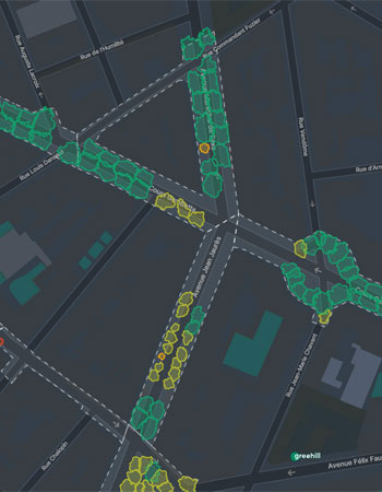
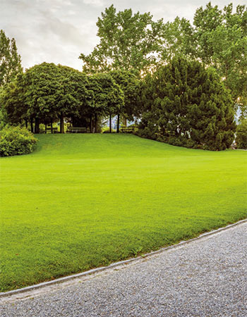
Efficient management of urban green areas
R3GIS develops Web-GIS and mobile applications to manage geospatial data and provides cutting edge, innovative tools for the smart cities of the future.

Countries
served

Satisfied
customers

Innovation
projects
At R3GIS, we create intuitive software solutions that help you deliver on your goals.
Explore our products and find the best fit for your needs.
Check out what's new at R3GIS
“R3GIS has been an effective and vitally important support in implementing numerous research and consultancy contracts for which I've been appointed lecturer at the Polytechnic University of Milan.”
“R3GIS has been supporting us for years, with a professionalism and expertise in creating tools to promote and manage the territory of Montana Community.”
“I have known R3GIS since the first time it participated in the ASITA Conference (2004) and I have watched it grow with innovative projects and secure a key role in the Italian GIS market.”
“I am confident that any objectives you set will be achieved, when collaborating with R3GIS.”
“R3GIS is a competent and innovative partner in the field of free geographic software.”